Linear referencing allows information about a geographic location to be stored in reference to a position (i.e. measurement) on a linear feature. To better understand the fundamental concept of linear referencing, it is important to understand how multiple sets of attribute data can be associated with a single linear feature.This allows data to be collected and used for variables that may change along a linear feature. For linear referencing, linear features and tabular data that describes various variables, conditions or aspects of the linear feature are required. Linear referencing uses dynamic segmentation to simplify geographic data storage by allowing multiple variables to be stored for a single segment of a linear feature.
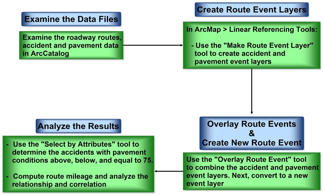
General workflow diagram for utilizing linear referencing for GIS analysis.
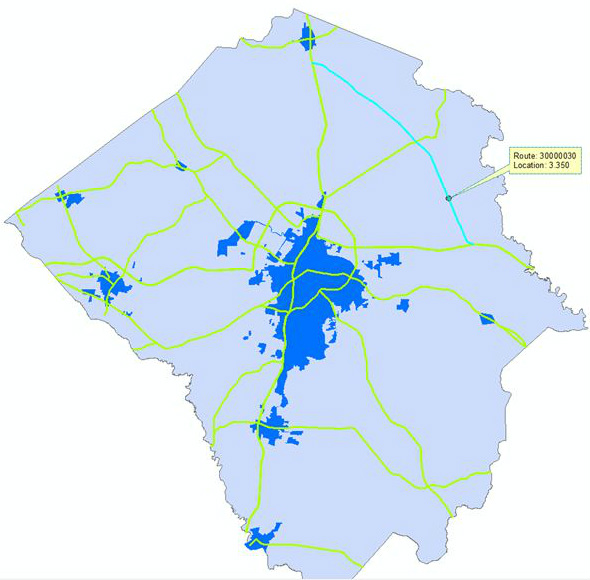
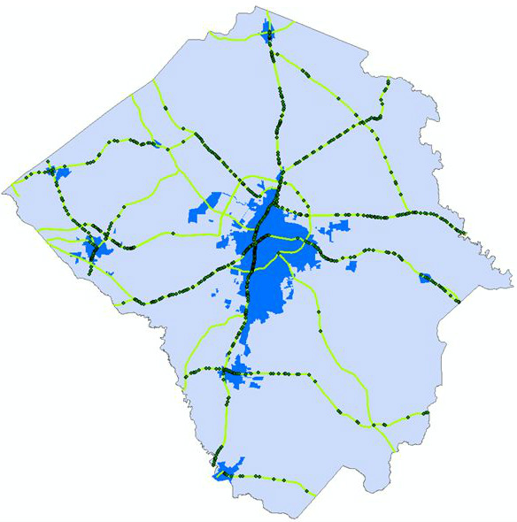
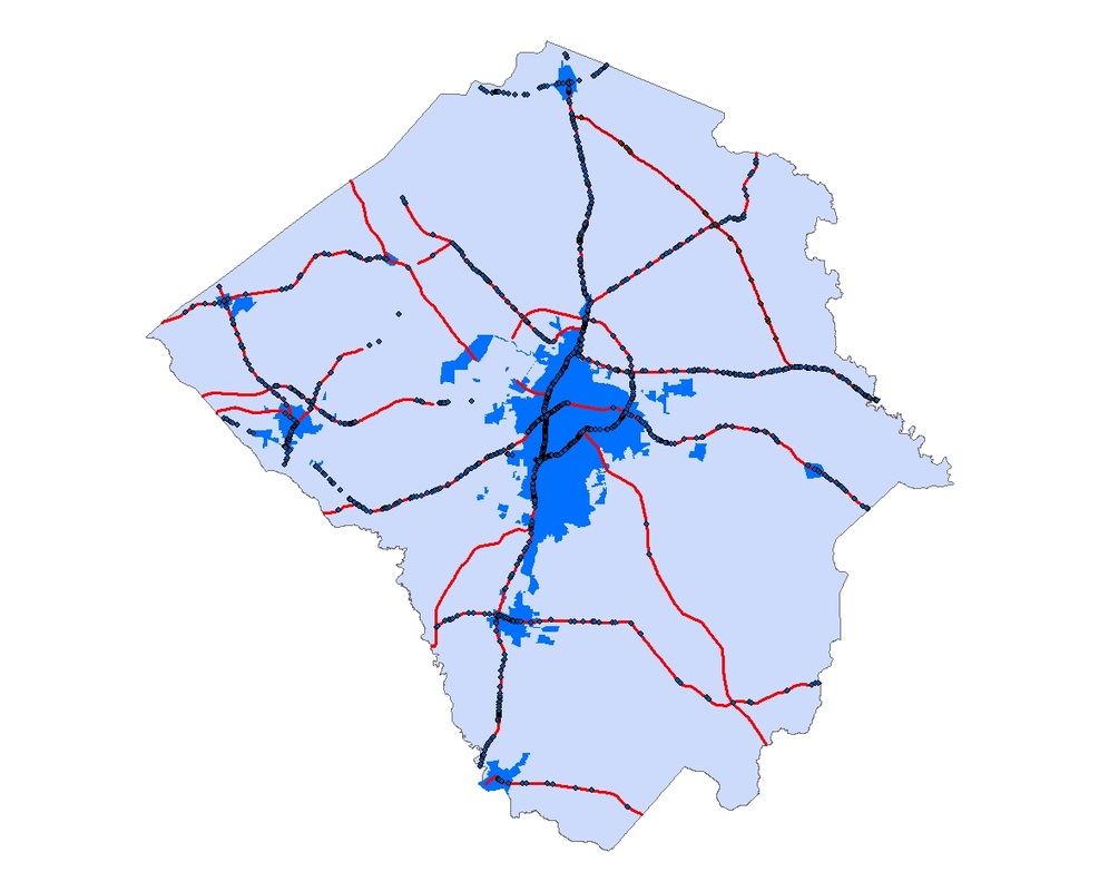
For this analysis, two types of route events are provided: points and segment/line events. Polygon shapefiles represent both city and county limits, while a feature class (line) file displayed roads within a study area. Additionally, two non-spatially referenced tabular files regarding traffic accidents and road pavement characteristics were evaluated. Various Linear Referencing Tools within ArcMap were used including "Identify Route Location" and "Add Route Events" both tools can be found within the ArcMap Customize menu. The "Identify Route Locations" tool will be used to identify and highlight a specific route in the Pitt County, N.C. area as the "Add Route Events" tools will be used to convert data tables to an event layer; a necessary step after intersecting route events in order to have the data's geography displayed accurately. The newly referencing data and tables will be analyzed to determine the frequency of car accidents in correlation to pavement quality/road conditions. This analysis answered a series of questions addressing general linear referencing concepts as well as data-specific analyses such as the relationship between pavement ratings and accident frequencies.
The skills and techniques addressed in this exercise are useful for displaying how complex questions involving a number of variables can be answered using linear referencing and GIS. Linear referencing also provides the GIS user with a means of simplifying data management. Linear referencing is most commonly utilized in the planning and management of highways, public transportation, railways, utilities, etc.
