With technology evolving and GIS offering endless mapping capabilities using the web to serve and develop GIS applications is the most efficient method of creating useful products for users and clients. Serving web applications eliminates issues due to differences in location, technology and software restraints/limits.
Ultimately, a GIS web service provides access to GIS data or functionality over the web in a standardized fashion. A service can be consumed by or integrated into a web mapping application making it an interface by which an application can access your data or GIS functionality. Web services and applications often provide geographic data and geoprocessing tasks (geocoding, routes, etc.). GIS web services can originate from many sources and does not need to be housed locally, it is a user friendly way to incorporate multiple services into one application (i.e. imagery services). Generally standard types of web services include: WMS (Web Mapping Service), WFS (Web Feature Service) and WPS (Web Processing Service).
Ultimately, a GIS web service provides access to GIS data or functionality over the web in a standardized fashion. A service can be consumed by or integrated into a web mapping application making it an interface by which an application can access your data or GIS functionality. Web services and applications often provide geographic data and geoprocessing tasks (geocoding, routes, etc.). GIS web services can originate from many sources and does not need to be housed locally, it is a user friendly way to incorporate multiple services into one application (i.e. imagery services). Generally standard types of web services include: WMS (Web Mapping Service), WFS (Web Feature Service) and WPS (Web Processing Service).
API for JavaScript Web Mapping Application
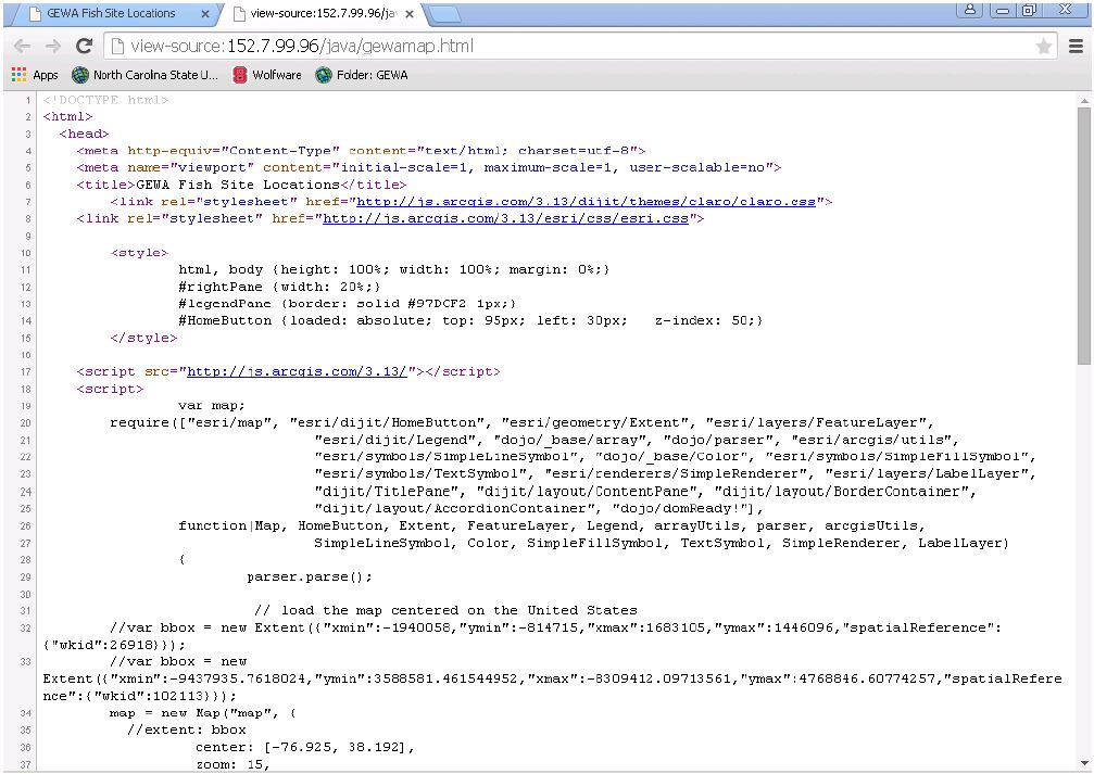
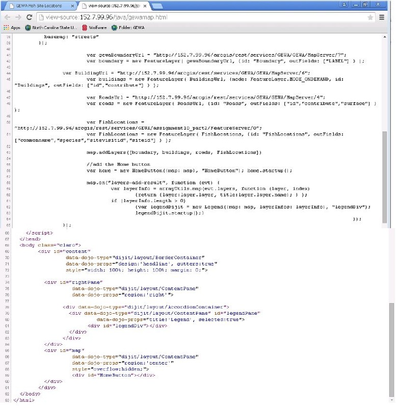
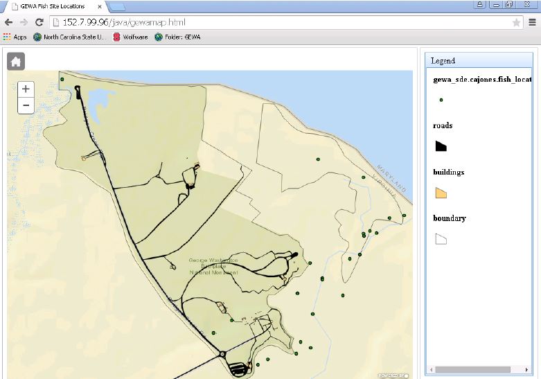
API for JavaScript is a GIS technique used to maximize a user's productivity for building interactive, operational and visually pleasing web mapping applications. The API (Application Program Interface) combines modern web techniques with powerful GIS functionality allowing a user to create high performance applications.The assignment below used a George Washington Birthplace NM ArcSDE Geodatabase that I created to develop a web mapping application using API for JavaScript. The application contained the following: a custom appearance, GEWA operational layers, a Legend/Table of Contents and an additional feature (Home Button).
Click the images below for details on this assignment.
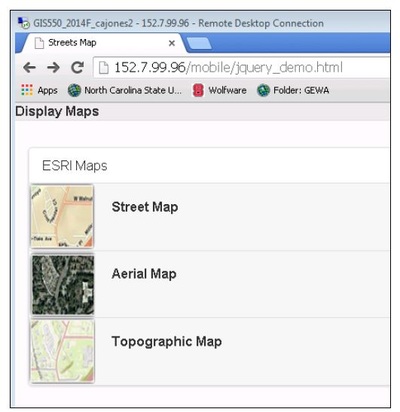
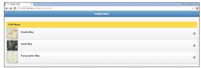
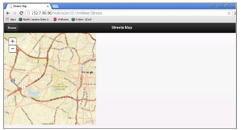
Mobile Web Application Development
In this assignment I was introduced to jQuery Mobile, HTML and CSS in the context of web mapping applications. ArcGIS API for JavaScript was also used along with jQuery to develop a mobile web application. Part 1 of the assignment started a jQuery Mobile application that was used as a base for Part 2 which implemented a mini map browser for mobile devices. The final product added ESRI Streets and Aerial and Topographic maps to the mobile application. Only a small part of jQuery Mobile's functions and capabilities for developing a mobile application were used for the purpose of this assignment being a tutorial; jQuery is capable of producing much more. The final application does not represent a complete, fully functional application.
Click the images below for details on this assignment.